Beyond the Peaks: Exploring the Diverse Landscapes Around Malang

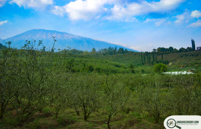
Encircling the high plateau basin of Malang is a dramatic ring of ancient volcanic massifs and limestone formations. Deep within the Arek cultural heartland, this high-altitude geography shapes a landscape where microclimates change rapidly over short distances. From subalpine volcanic crests to deep river gorges and rugged ocean cliffs, the physical environment surrounding Malang offers an extraordinary study in physical geography.
For centuries, these terrain boundaries have defined human settlements, agricultural rhythms, and natural ecosystems in East Java. Exploring the outer reaches of Malang Regency reveals a region defined by dynamic natural forces, where volcanic heat and ocean swells continuously sculpt the earth.
Volcanic Slopes and Highland Canopies
The Alpine Sanctuaries of the Tengger Massif
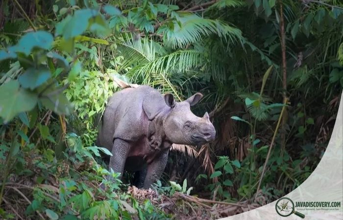
To the east of Malang, the land rises sharply into the Bromo Tengger Semeru National Park, dominated by Mount Semeru—the highest peak on Java at 3,676 meters. Here, sub-montane rainforests give way to oak-laurel thickets, mountain firs (cemara gunung), and sweeping subalpine meadows. Deep ravines surrounding highland lakes like Ranu Kumbolo shelter crucial wildlife corridors, providing a refuge for endangered species such as the Javan hawk-eagle (Nisaetus bartelsi) and the elusive Javan leopard (Panthera pardus melas).
Geothermal Veins of Welirang and Arjuno
Dominating the northern horizon, the twin peaks of Mount Arjuno and Mount Welirang power an extensive subterranean geothermal system. Rainwater seeps miles below the surface, reaching heated rock strata before resurfacing through vents and natural springs. In high forest reserves like Raden Soerjo Grand Forest Park, steaming sites like Cangar Hot Springs emerge amidst cool mountain air, showcasing the active volcanic energy pulsing beneath the Arek basin.
Carved River Gorges and Whitewater Valleys
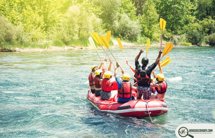
The vast water runoff from the surrounding volcanic massifs flows downward into a network of river basins. In western corridors such as Kasembon and Pujon, mountain streams carve steep channels through basalt boulder fields, bamboo groves, and agricultural terracing.
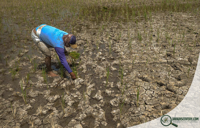
These rushing river channels create vital ecological corridors that link the upper mountain forests to the lowland plains. Nourished by mineral-rich volcanic water, the surrounding valleys host lush agricultural belts while sustaining native aquatic species and forest wildlife along their steep jungle edges.
The Coastal Karst of the Southern Horizon
Moving south from the central volcanic basin, the terrain transitions into the rugged karst topography of Malang Regency’s Indian Ocean coastline. Here, ancient uplifted limestone hills drop abruptly into crashing surf, forming dramatic sea cliffs, isolated coves, and exposed offshore rock stacks.
At low tide, extensive coral shelves and tidal pools are exposed along beaches like Balekambang and Goa Cina. Off the shore of Sendang Biru, the protected island reserve of Pulau Sempu creates a sheltered marine channel, forming a stark contrast between roaring ocean swells and serene coastal ecosystems along the Pandalungan coast.
From the freezing mists of Mahameru down to the sun-baked limestone cliffs of the south, the natural landscapes surrounding Malang reveal the raw, unceasing energy that continues to shape the island of Java.
Writer: Sari Mahendra