How Malang Became the Paris of Java Beneath Its Cool Skies

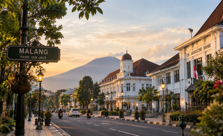
Stand at the edge of Ijen Boulevard and the city seems to arrange itself around a single idea. Two carriageways run side by side, divided by a long strip of garden. Palms line the verges, bougainvillea spills over garden walls, and old villas sit back from the road behind their trees.
Little of this happened by accident. Malang, a highland city in East Java about 440 metres above sea level, was drawn on paper before it was built on the ground. Its planners were Dutch, their purpose was colonial, and the city they designed is still being read, argued over and lived in.
A Basin Older Than the Dutch
Long before colonial surveyors arrived, the Malang basin already had a written history. The oldest evidence is the Dinoyo inscription, found in the Dinoyo area on the western side of today’s city. It is dated 682 in the Saka calendar, which corresponds to 760 CE.
The inscription is written in Sanskrit using an early Old Javanese script. It names a king, Gajayana, and records the dedication of a sanctuary to the sage Agastya. Historians read it as proof of a kingdom called Kanjuruhan in this basin.
Some scholars link the text to Candi Badut, a small temple a few kilometres west of the centre, though that connection is still debated. Later kingdoms, including Singhasari, are also tied by historians to this part of East Java. The Dutch did not arrive on an empty plain.
The Railway That Opened the Highlands
In the 1870s the colonial state railway company, the Staatsspoorwegen, began pushing track from the port of Surabaya toward the cool uplands. The Surabaya to Pasuruan section opened on 16 May 1878. The final stretch, from Lawang to Malang, opened on 20 July 1879.
The line climbs through plantation country, and it mattered. Coffee planters around Malang had long faced a slow, costly journey to the port. The railway cut that distance, and trade, estates and European settlement followed it up the slope.
The station that greeted the first trains has since been replaced. The current building dates from 1941 and was designed by J. van der Eb.
Drawing a City on Paper
From Town to Gemeente
On 1 April 1914, colonial authorities made Malang a gemeente, a Dutch term for a municipality with its own council and mayor. Until then it had been administered as part of the Pasuruan Residency. The city still celebrates 1 April as its anniversary.
Karsten and the Bouwplan
To guide the growth, the new municipality turned to Herman Thomas Karsten, a Dutch architect and planner who had already worked in other cities of the Indies. His scheme was carried out in eight stages known as the Bouwplan, or building plans, numbered I to VIII. Sources differ on the exact span, but the work ran from 1917 into the 1930s.
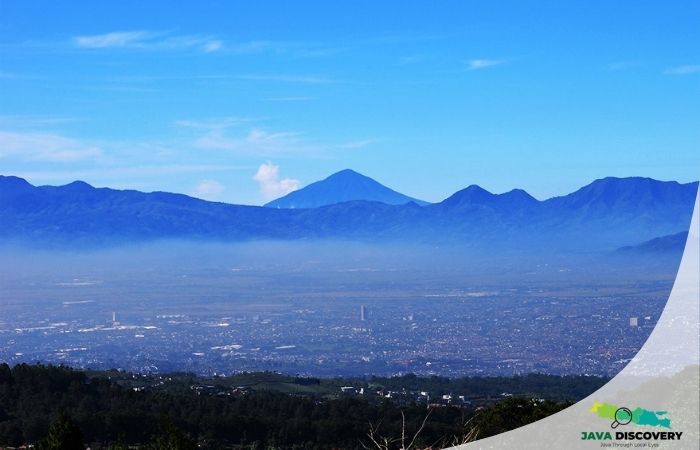
Karsten is remembered for adapting European planning ideas rather than copying them. According to Malang architect Budi Fathoni, as reported by the heritage group Malang Retro, the layout responded to the basin’s geography, set between the Brantas, Amprong and Metro rivers and framed by the mountains of Kawi and Arjuno.
Local accounts add that the plan was presented at a world town-planning exhibition in Paris in 1937. The claim is widely repeated, but it should be treated as local tradition until an archival source confirms it.
Ijen Boulevard and the Question of Who Belonged
Ijen Boulevard is the best-known product of the plan, most often attributed to the fifth stage. Its twin lanes, central garden and rows of palms were designed as a showpiece residential avenue. At one end stands the Gothic-style Ijen Cathedral, formally the Church of Our Lady of Mount Carmel.
The beauty had a boundary. Historians who study the colonial city describe a plan in which districts were divided along ethnic lines and linked to social status, with facilities distributed to match. Europeans lived in the planned residential quarters, while most Javanese residents lived in kampung, the dense urban neighbourhoods that grew up around the planned districts, with far fewer amenities.
Malang was never only Dutch and Javanese. Chinese, Arab and Madurese communities also lived here, and areas such as Kauman, the Muslim quarter around the mosque, had their own character. Popular retellings say the boulevard was strictly reserved for Dutch families. What the research documents more firmly is a city zoned by ethnicity and status.
Why They Called It the Paris of Java
The nickname most often appears as the “Paris of East Java.” Writers usually explain it by the cool highland air, the European-style planning and the city’s role as a resort and comfortable place to live for colonial families. One historical study describes Malang in these years as a resort city and tourist area.
Another nickname, “Switzerland of Java,” also turns up in the scholarship on the city. Who first coined these labels is not clearly documented in the sources reviewed for this article, so they are best understood as a reputation that grew with the city rather than a title that was ever officially awarded.
An Arek City, Not a Court City
Malang belongs to the Arek cultural region of East Java, along with Surabaya. Arek is the local Javanese word for child or youngster, and it has become a badge of identity: direct, egalitarian and proudly unlike the court-centred culture of Central Java.
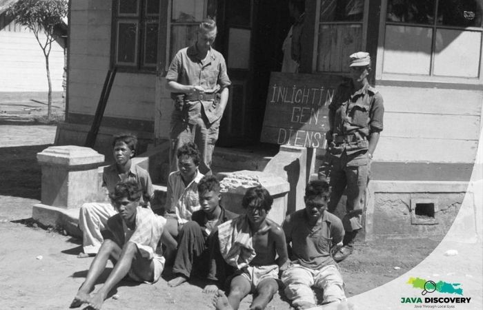
That identity is spoken aloud in walikan, the “reversed language” of Malang. Around 1949, during the Dutch military offensive, fighters of the Gerilya Rakyat Kota, the City People’s Guerrilla, needed a code that Dutch informers fluent in Javanese could not follow. They began flipping words. Malang became Ngalam, and arek became kera.
Local accounts credit a guerrilla leader, Suyudi Raharno, with the idea and say he was killed by Dutch troops in September 1949. Whatever the details, the code outlived the war. Today Ngalam is painted on walls and printed on shirts, a colonial city’s name turned inside out by its own people.
Walking the Colonial Layers Today
The Karsten city can still be read on foot. Ijen Boulevard and its villas remain, along with the Gothic spires of Ijen Cathedral and the Kayutangan church, and the plaza in front of city hall that was laid out as J.P. Coen Plein. Streets named after mountains still mark some of the planned residential districts.
After independence, the boulevard stayed a prestigious address, now home to Indonesian officials and business owners. One recent essay on the city’s identity puts the tension simply: Malang was planned by one set of rulers, inhabited by many communities, and is governed today by yet another.
Malang’s charm is real, but it was drawn by people who did not draw everyone in. Perhaps that is why the city’s most enduring creation is not a boulevard at all, but a language of reversed words, invented by residents who refused to be read by outsiders.
Writer: Sari Mahendra